With the closure of the last stores…. even discount stores, the reality of “Zombie downtowns” is upon us. The media frames this retail collapse as a lasting impact of Covid, online shopping, and working from home. But the deeper cause is decades of city planning focused on the monoculture of “Central Business Districts”—and not the layers of time, activities, human scale, and land uses that make a city resilient when change happens.
This article from 2017 is more relevant than ever. We need to question the idea that “downtowns” must be a compact core of commerce surrounded by freeways. Minneapolis remains a poster child for this thinking….and our downtown is not faring well.
To become a livable downtown, Minneapolis must return to its roots as a collection of neighborhoods
By Frank Edgerton Martin Special to the Star Tribune. November 10, 2017
The words we use to describe cities — such as, “downtown”, “central business district” or even “city center” — contain assumptions about what should happen there, who should live there, and how the area should look and feel. We rarely question what we mean when we talk about downtown, especially when it comes to Minneapolis.
It’s time to do so.
Our definition of “Downtown” is preventing us from creating a truly urbane, equitable and 24-hour city — a civic landscape where people live, work and play in the central city and surrounding neighborhoods
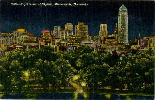
Loring Park’s downtown vista. The Loring neighborhood was filled with pedestrian scale buildings, stores, residential hotels, and churches that flowed into the business and retail core. Linen postcard from the mid-1930s.
In the early 20th century, Minneapolis had a more connected, cohesive feel. You could live in a neighborhood like Stevens Square, which is close to the center of the city, and walk to work downtown.
Along the way, you’d pass from single-family homes to apartment hotels to clusters of small businesses and offices, with the buildings growing larger and more densely spaced the closer to downtown you got.
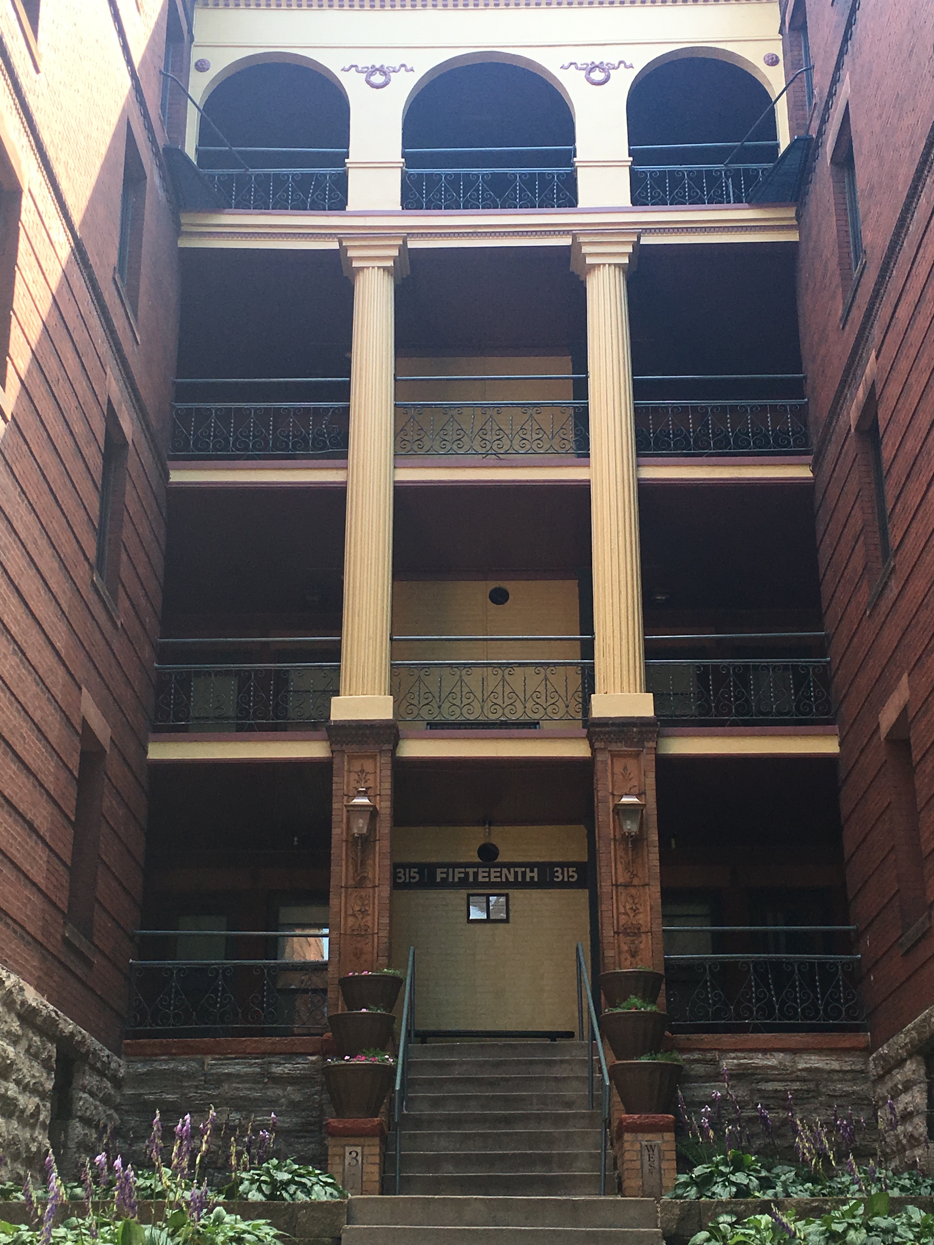
Historic apartment architecture in Loring Park
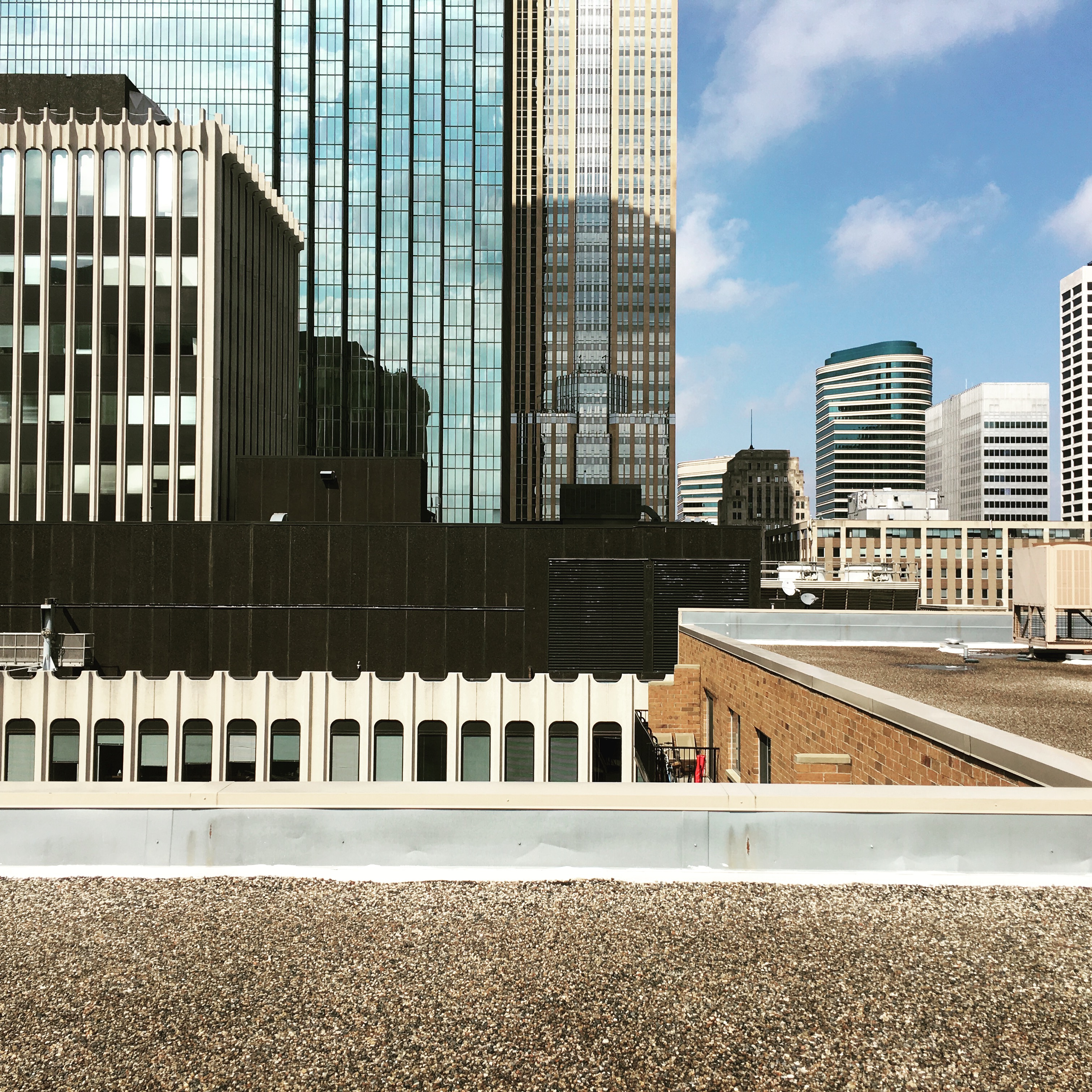
Now Stevens Square — like many other nearby neighborhoods — is cut off from downtown by a tangle of freeways. And while the city’s skyscrapers are visible for miles, the downtown area is disconnected from the rest of the city.
Cities across the country have been facing a similar problem and trying different tactics to keep their downtowns vital.
Portland, Oregon, for example, is celebrated for reintroducing streetcars downtown. Some planners, looking to invigorate Minneapolis, say Portland should be our model. But it’s not the streetcars that have made Portland so successful: It’s that city’s transit systems, which weave together the nearby neighborhoods and make car-free living possible.
There are no Downtowns in Europe
Downtown is an American term, coined in early 19th century Manhattan. The city started on the island’s southern tip. The only direction it could grow was northward (or “up” on maps). “Uptown” (or Upper Manhattan) became a primarily residential area, while downtown was all about commerce, an association that has stuck.
Some cities, including Philadelphia, never adopted the downtown moniker, retaining the more European Center City name for its core. But as newer cities emerged in the west, most embraced the commercial downtown idea, including Minneapolis and St. Paul.
After World War II, this concept of downtown shaped freeway planning across the country as well as in the Twin Cities. As a result, Interstate 94 cut off the State Capitol and surrounding neighborhoods from downtown St. Paul. And I-94 and Interstate 35W also severed several neighborhoods from downtown Minneapolis — and from each other. For both cities, the legacy of interwoven, walkable neighborhoods began to vanish.
Ironically, one of the fastest growing residential areas in Minneapolis today, the North Loop, would have been cut off from the core had the ring of freeways around downtown been completed.
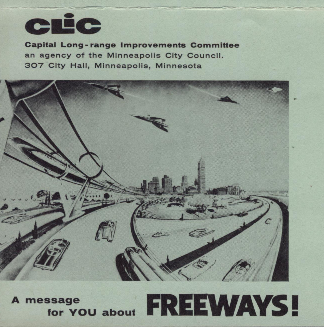
Propaganda for Freeways. This circa 1958 flier promotes Jet Age transport wrapping downtown Minneapolis with monorails and freeways. Of note: All vehicles had fins. Minneapolis History Collection
Citizen protests stopped that final link, but as late as the 1970s, the city’s Metro Center ’85 plan assumed that the North Loop and much of today’s East Town would remain industrial.
According to that plan, downtown Minneapolis should become a “compact core” with skyways tied to surrounding parking ramps. However, seeing cities as fortresses and freeways as a way to bring workers and shoppers into the city from far-flung suburbs is outdated.
Rethinking the future
Rather than assuming that the car-based design of the city is here to stay, we should consider how we live — and how we want to live. Public subsidies for parking, roads, and expanding freeways should be a choice, not a mandate.
We don’t necessarily need to import a costly streetcar system like Portland’s or replace all cars and roadways. Instead, we need to ask: What kind of transportation system can restore the web of neighborhoods that once defined the core of Minneapolis and St. Paul?
In Baltimore, transportation subsidies now fund free circulating buses that are revitalizing a vast network of commercial, cultural and residential areas from the Johns Hopkins Medical Center to the Inner Harbor and Fort McHenry. A simple bus system has woven a larger area of the city together for residents and tourists alike.
We can make a choice to reintegrate relatively diverse and affordable neighborhoods like Phillips and Marcy-Holmes into downtown Minneapolis. The rich fabric of the city’s older neighborhoods — from Dinkytown to Sumner — creates an urban environment of greater choices and varied experiences available for downtown’s residents.
It’s time to determine what we want downtown to mean.
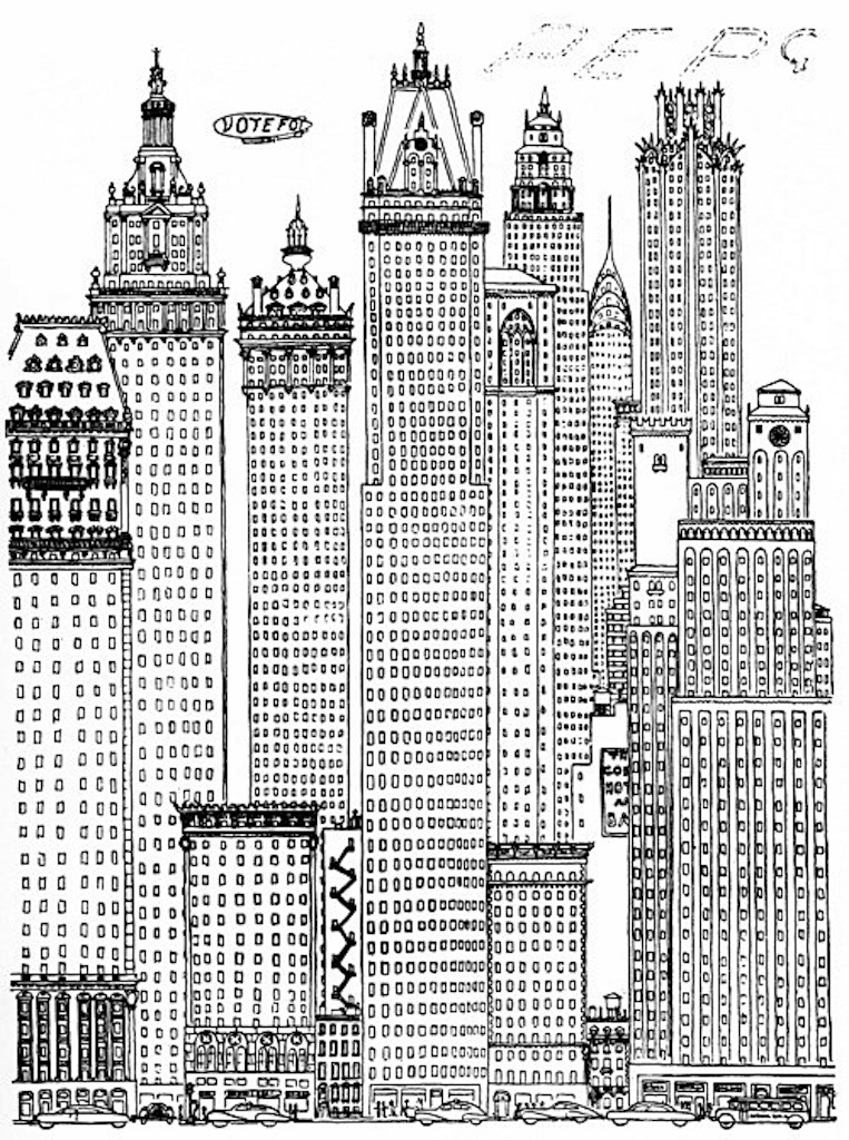
Frank Edgerton Martin, MSLA is a consulting writer for architecture and design firms and a historic landscape preservation planner. —Drawing at top by Gilbert Osmond, c. 1956
